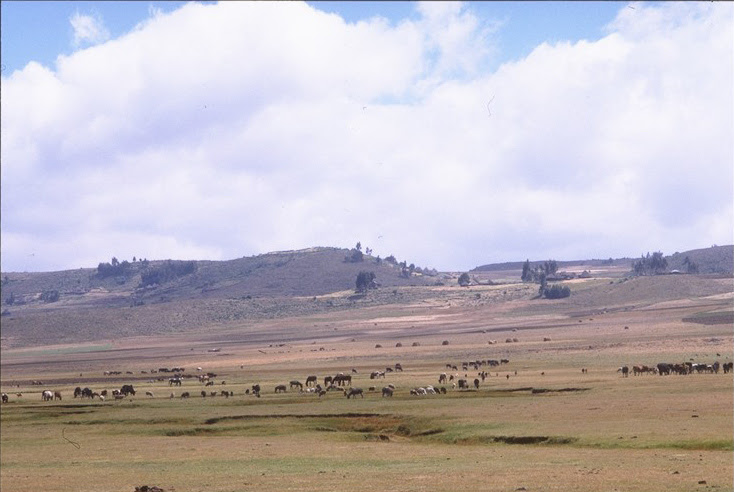
Understanding how climate change will affect rangelands is crucial as millions of people around the world depend on it for food and income. Now an innovative tool, going by the name G-Range, can help us simulate future changes that in turn supports climate adaptation.
We usually turn to computer simulation tools when we want to find out what our future climate will look like. For rangelands, which are natural landscapes in the form of grasslands, shrublands, woodlands, wetlands, and deserts, such tools are either for a specific part of the world or very complex, alternatively too simple. Seeing as rangelands support the livelihoods of millions of people around the world and make up about 45 percent of the world's surface (excluding Antarctica), there is a definite need to find ways to simulate how climate change will affect these parts of the world as well.
Building on this need, scientists fromColorado State University have just put the final touches on an interesting tool called: G-Range. It's a tool that can simulate generalized changes in rangelands through time, with simulations that may span a few to thousands of years.
What can you do with the tool?
The tool is easy to use, and represents all global rangelands in a single simulation. It can simulate the growth of herbs, shrubs, and trees, and the change in the proportions of these plant types. The tool borrows from theCentury model, which is used around the world to understand changes in soil chemistry.
With G-range you can track changes in carbon and nitrogen in the soil and plant parts. The death of plant parts and establishment, as well as deaths of whole plants can also be tracked, and you can in addition simulate fire in the model.
The tool is distributed with spatial data and settings that let the model simulate global rangelands. Users will likely want to make changes for their areas of interest, but the files that come with the tool will serve as a good starting point.
Excerpt from article by Cecilia Schubert, April 22, 2014, Research on Climate Change, Agriculture and Food Security (CCAFS), http://ccafs.cgiar.org/blog/new-tool-simulates-how-climate-change-will-affect-our-rangelands?utm_source=feedburner&utm_medium=email&utm_campaign=Feed%3A+CGIAR-Site-Updates+%28CGIAR+Site+Updates%29#.U1ZZRSm9LCQ